Over Wandale Hill.
Start. Cross Keys, Cautley.
Route. Cross Keys - Narthwaite - Wandale (ruin) - Wandale Hill - Narthwaite - Cross Keys.
Notes. This was a walk I'd had in mind to do for ages, trouble was I'd always looked higher, further or both, today with only the morning vacant I decided to drive to Cautley, ignore the crowds heading to Cautley Spout and wander up lonely Wandale Hill.
I parked on the roadside near the Cross Keys, here a footbridge spans the River Rawthey, this allows access to Cautley, the crag and the spout. After crossing the bridge I turned right away from the chitterers and chatterers, leaving the crowds I headed to Narthwaite where I gained access to an ancient road cutting across the steep eastern slopes of Wandale Hill. Built before the automobile robbed us of the use of our legs, this road was constructed to accommodate pack horses and coaches, it makes a wonderful path.
I passed the ruins of Wandale Farm, a sad reminder of the demise of farming in these vast tracts of upland. Further up the path another ruined farmstead, then a roofless barn. Just after the barn a path climbs across the northern slopes of the hill, I followed this above the intake wall until reaching the start of the north ridge, unable to put the ascent off any longer I turned south to head up the hill. The summit cairn was the most pathetic I have ever seen, if you ever have the pleasure of wandering on the grassy slopes of Wandale Hill take a stone with you, the cairn needs your help. My descent was easy, I just followed the ridge south, eventually reaching a wall. From here I descended into Westerdale to follow another ancient track back to Narthwaite, a right turn in the farmyard saw me re-tracing my steps back to Cautley.

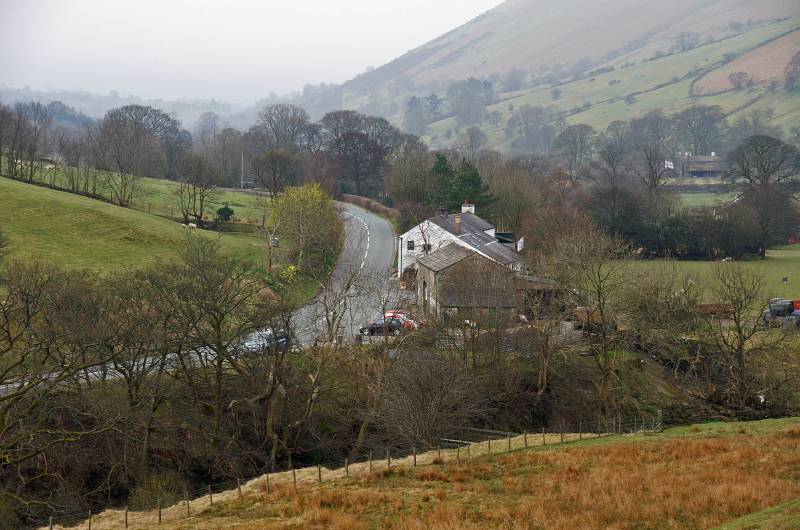
Looking to the Cross Keys and the small car park at the entrance to Cautley.
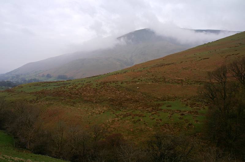
A grey day over Cautley Crag.
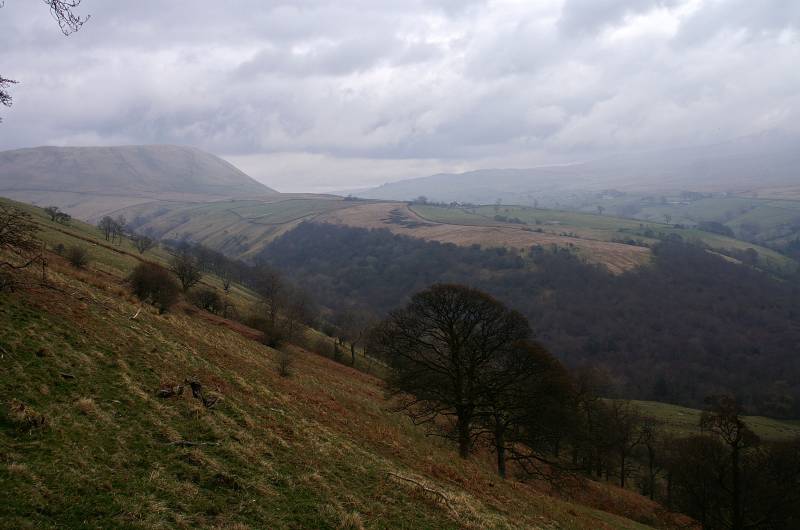
Unfortunately the Dales are overcast today, looking to Harter Fell over Wandale.
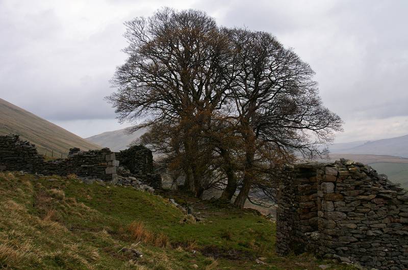
Once the home to a small farming community, the ruins of Wandale Farm.
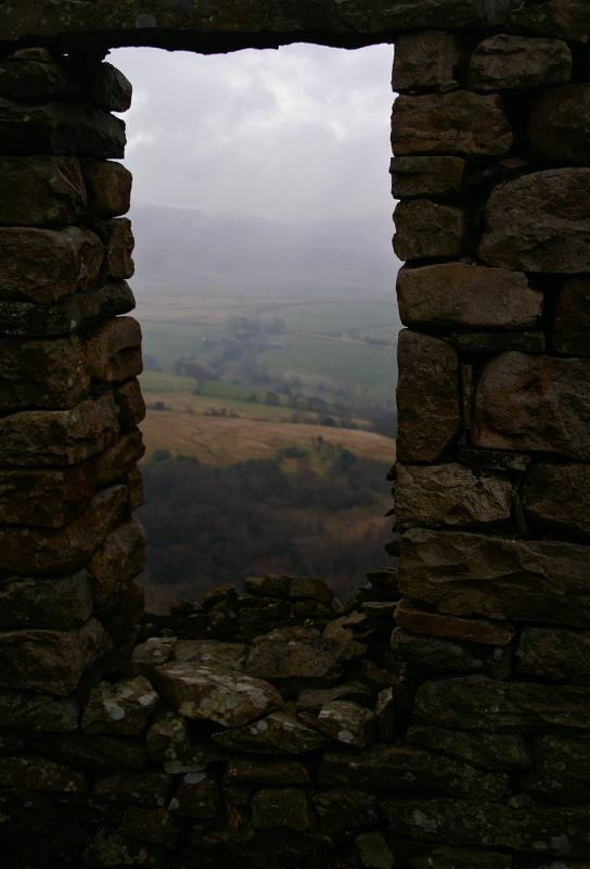
Seen through a long dead window the slopes of Baugh Fell.
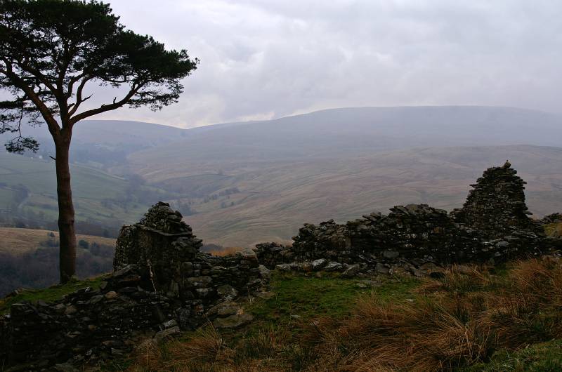
Further along the path another ruin, across the skyline the vast expanse of Baugh Fell.
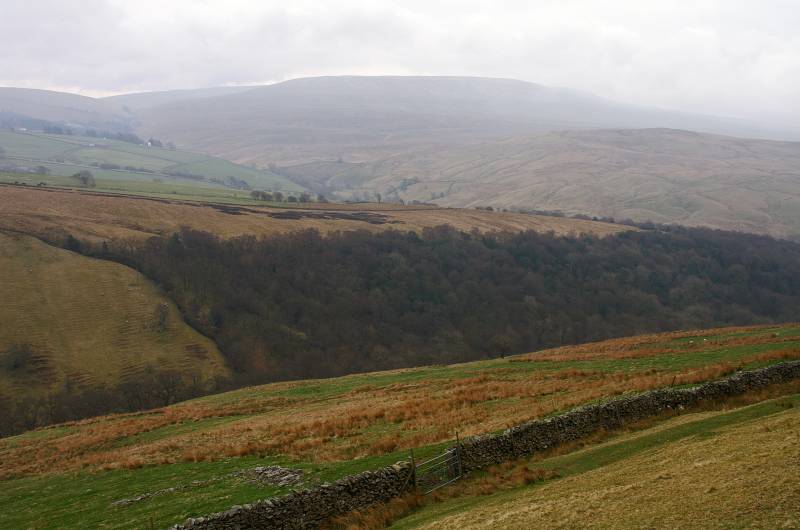
Baugh Fell as seen across Wandale.
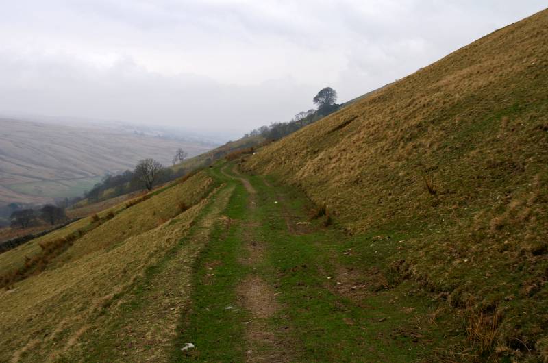
The farms may be ruinous but the old road remains, what a wonderful footpath.
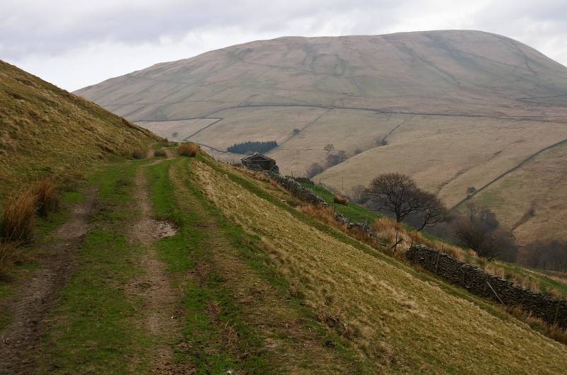
In the other direction looking to Harter Fell, the barn marks the start of my ascent.
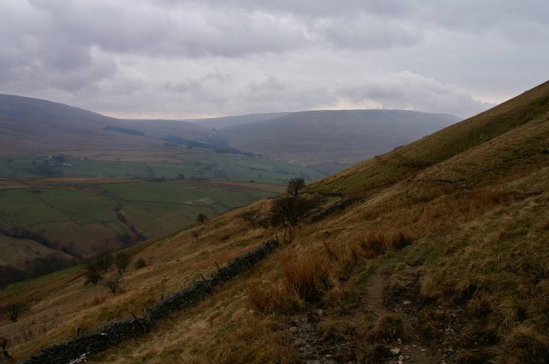
I've left the old road to wander along this narrow path above the intake wall, the view, Uldale between the slopes of Wild Boar Fell and Baugh Fell.
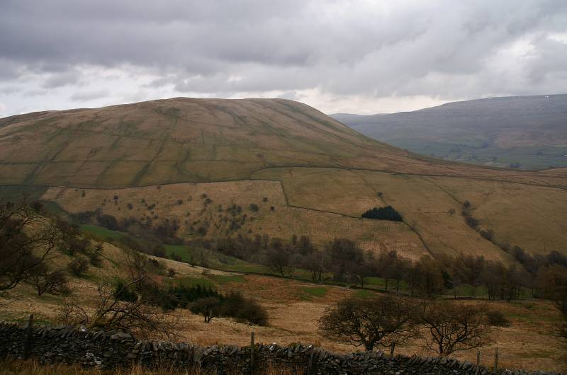
Harter Fell, to the right Wild Boar Fell.
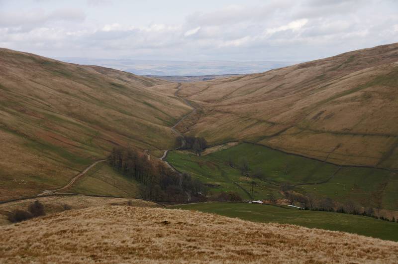
Ascending the north ridge looking to the head of Wandale.
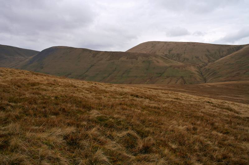
Views to the ridge of Kensgriff with the summit of Randy Gill Top rising behind.
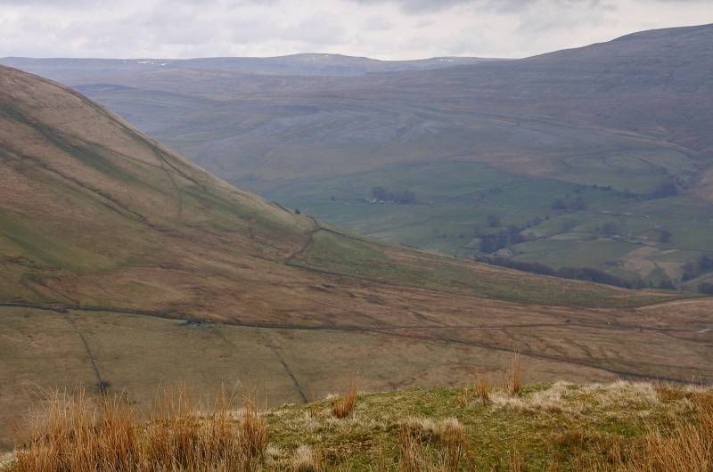
Seen from near the summit, Fell End Clouds with Mallerstang Edge across the skyline.
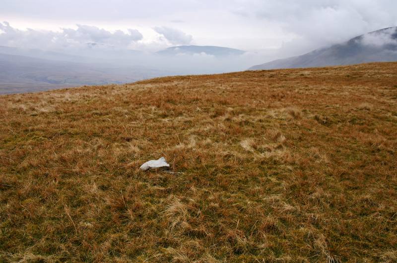
This is it! the summit Wandale Hill.
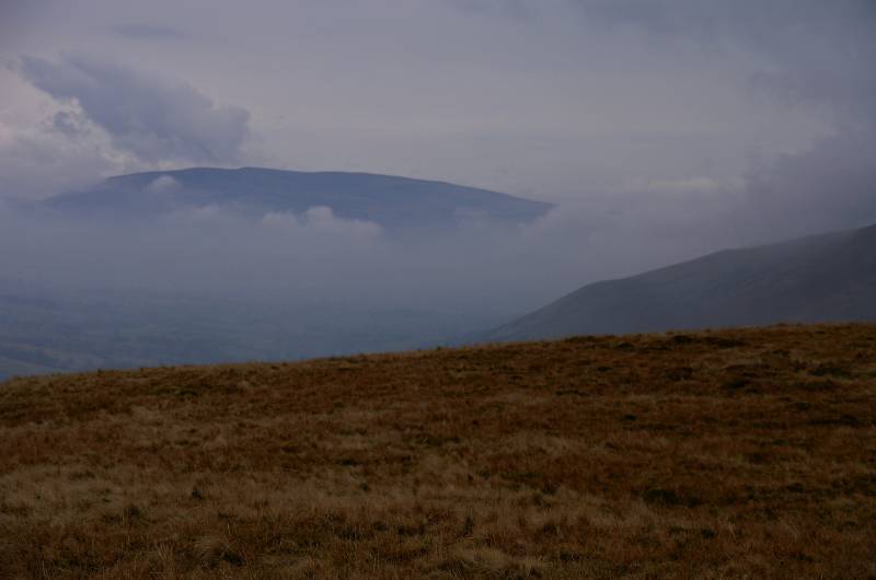
Views south down the valley of the River Rawthey with Middleton Fell rising above the mist.
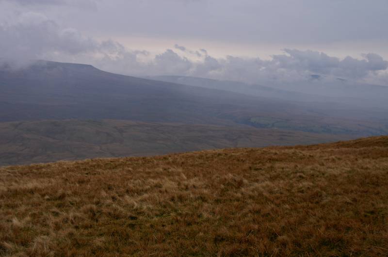
Hazy views to Baugh Fell, it's a pity the sun's not shining, just another excuse to come back.
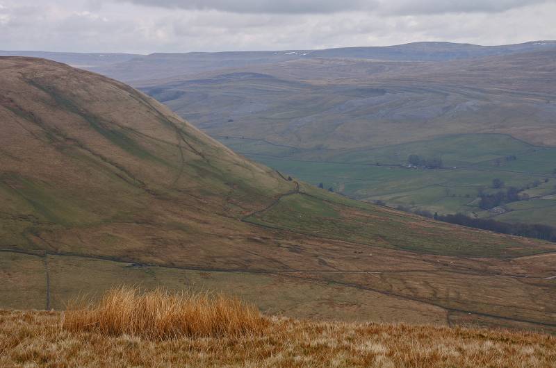
Fell End Clouds seen over the shoulder of Harter Fell with Mallerstang Edge across the skyline,
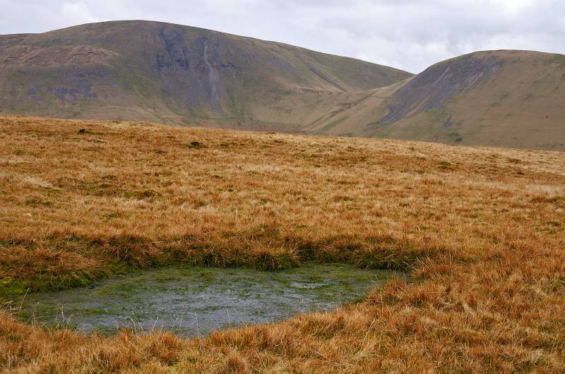
Plunging to the Saddle the scree and grass slopes of Yarlside, to the right Kensgriff.
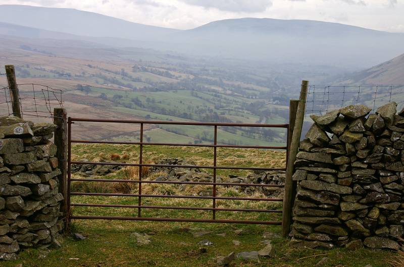
Viewing Middleton Fell from the dry stone wall marking the start of my descend into Westerdale.
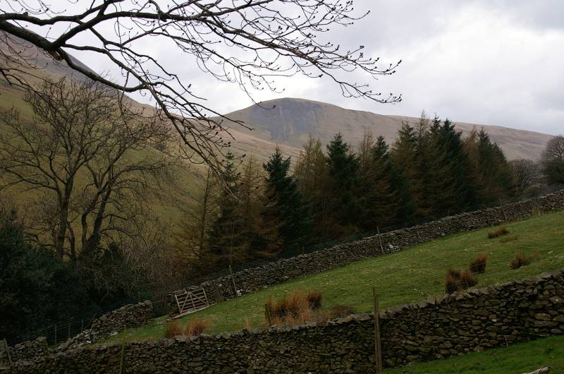
Kensgriff seen through Westerdale.